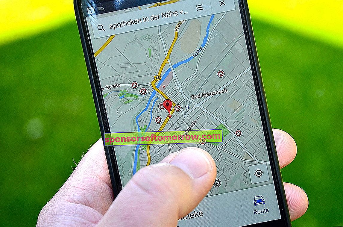
Thanks to mobile phones, people who are a little clueless or who don't have a very good sense of direction no longer get lost. It may seem like a somewhat funny phrase but it is pure reality. No more asking anyone for a street when we are walking and then forgetting the message in seconds; no more going around and around looking for a way and then having our destination within a span of our noses. Thanks to applications such as Google Maps or Waze, both now suspect of causing traffic jams in places where there were none, we can get from point A to point B without complications, in a short time and saving time and effort.
And how do they get it? Thanks to a positioning system called GPS that, over time and the uses of different devices, has led to more sophisticated and improved ones such as A-GPS or similar ones such as GLONASS, you have surely seen these acronyms in the specifications of your mobile and you don't really know what they refer to. Well, here we are going to solve your doubts. What do we call GPS, A-GPS and GLONASS?
GPS
Thanks to GPS or, what is the same, ' Global Positioning System ', the location of a person or object in a given space can be determined with a precision of up to centimeters (a few meters difference is usual ). It was a system developed in 1973 by the United States Department of Defense with strategic objectives. For an object or person to be located by this system, four or more satellites have to locate it, using 'trilateration'. Without going into too many mathematical technicalities, trilateration is a mathematical method by which we can know the position of an object through three reference points. The reference points, in this case, would be the satellites in charge of sending the signal to the GPS receiver.

In the 1980s, the Department of Defense released GPS so that civil society could use it. 15 years later, a total of 31 satellites are used around the world . GPS data may not be the most reliable, so A-GPS was developed. Next we see what this evolution consists of.
A-GPS
Assisted GPS or A-GPS is nothing more than, literally, an improvement in GPS connectivity. For this, it uses the terrestrial telephone network. In cities there are many obstacles that prevent good transmission between satellites and devices, such as buildings. This is where A-GPS comes in. This positioning system uses four telephone antennas that update, in real time, the trilateration data of the subject's position. It also offers additional information that the GPS was not capable of, such as the weather forecast. What is the disadvantage of A-GPS versus GPS? That it consumes data from our rate and that the GPS works better in the field and in open areas.

GLONASS
We could define GLONASS as Russian GPS . The 'Global Navigation Satellite System' created in 1976 by the former Soviet Union, its first satellites being launched in 1982, becoming operational in 1993. It currently has 24 satellites in orbit that occupy a global territory.